




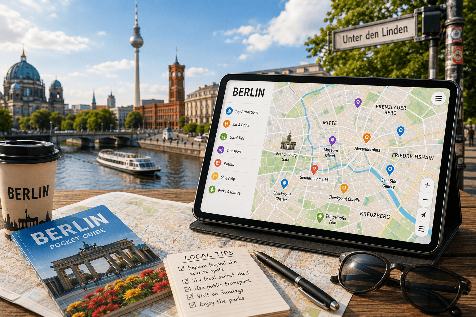
 Berlin Interactive Map
Berlin unfolds in complex historical layers, where bleak Soviet-era concrete towers stand directly opposite leafy, centuries-old beer gardens.
Visitors relying on rigid paper maps or basic driving apps consistently miss the tucked-away courtyards of Kreuzberg and the serene walking paths bordering the Landwehr Canal.
To truly grasp the pulse of this metropolis, you must learn to navigate Berlin like a local with an interactive map that highlights neighborhood secrets.
The sheer scale of this capital is massive, sprawling across 891 square kilometers to dwarf Paris more than eight times over.
This vast footprint ensures that a single miscalculated transit connection can easily drain hours of valuable exploration time.
A live digital guide keeps you updated instantly, pointing out hidden gems left off standard tourist brochures.
The Neighborhood Layout of Berlin
Berlin lacks a single, centralized downtown core. Instead, it exists as a loose collection of distinct urban villages.
Each borough, known locally as a Bezirk, operates as its own self-contained cultural hub with distinct transit patterns and social habits.
Getting a handle on these diverse districts helps you organize your daily wanderings much more smoothly.
| Neighborhood (Bezirk) | Vibe & Character | Key Highlights |
|---|---|---|
| Mitte | Historic & Busy | Museum Island, Brandenburg Gate |
| Kreuzberg | Alternative & Artistic | Street art, Landwehr Canal, food markets |
| Prenzlauer Berg | Quiet & Family-Friendly | Kollwitzplatz, restored historic buildings |
| Neukölln | Hip & Multicultural | Schillerkiez, Tempelhofer Feld entrance |
Why Digital Navigation Works Best in Germany’s Capital
Standard maps routinely funnel crowds toward packed zones like Checkpoint Charlie.
When you choose to navigate Berlin like a local with an interactive map, you bypass tourist traps and head straight for authentic spots.
For example, you can easily pinpoint the peaceful backstreets of Schillerkiez in Neukölln rather than getting stuck in heavy pedestrian traffic on noisy avenues.
Relying on a live digital tool helps you track sudden transit closures, weekend street markets, and local block parties.
This level of flexibility is highly important for catching the city’s constantly changing rhythm.
Mastering Berlin’s Transit System
The train and bus network in Germany’s capital is impressively fast but highly complex.
It includes underground subways, elevated rails, regional trains, streetcars, and buses.
Getting through this dense web requires some local know-how.
If you want to navigate Berlin like a local with an interactive map, you can easily overlay these different transit networks to avoid zone confusion.
This visual aid stops you from buying the wrong ticket by mistake.
Berlin splits its fares into zones A, B, and C, with Brandenburg Airport and nearby Potsdam sitting in zone C.
Riding without a stamped ticket results in an immediate sixty-euro fine.
Keep these quick transit tips in mind.
- Always stamp your paper ticket in the yellow or red metal boxes on the platform before stepping onto a train.
- Use map overlays to find stations with working elevators if you are carrying heavy suitcases.
- Take the Ringbahn lines S41 and S42 to loop around the central city districts.
Finding Secret Courtyards and Quiet Spots
Some of the finest moments in Berlin happen behind heavy wooden doors and inside residential courtyards.
Known as Hinterhöfe, these tucked-away spaces house small art galleries, quiet cafes, and neighborhood gardens.
It is incredibly difficult to find these hidden areas unless you navigate Berlin like a local with an interactive map that pins precise courtyard coordinates.
While Hackesche Höfe is the most famous spot, dozens of quieter courtyards lie hidden throughout Neukölln and Wedding.
Local map pins can guide you directly to the entrance of the historic Heckmann Höfe near the New Synagogue.
This particular spot features a quiet courtyard home to a traditional candy maker and a small theater.
Using a digital map ensures you do not get lost in the maze of residential side streets.
How to Plan Your Daily Berlin Route
Organizing your daily schedule by neighborhood saves both your energy and ticket money.
Grouping sights together allows you to walk between destinations instead of constantly riding the subway.
You can plot your coffee stops, museum visits, and dinner reservations in one visual interface to navigate Berlin like a local with an interactive map.
A standard day ticket costs around ten euros and offers unlimited travel until three in the morning the following day.
Walking through Berlin’s green spaces, such as the Tiergarten, offers a scenic alternative to underground travel.
Tempelhofer Feld is a massive former airport turned public park where locals gather to watch the sunset.
With a reliable digital tool, you can find the exact entrance gates to this huge three-hundred-and-fifty-hectare space.
This saves you from walking endlessly around the fenced perimeter trying to get in.
Building Your Own Custom Digital Map
Setting up your own map layer is simple with modern web tools.
You can drop custom pins for street food stalls, old historical markers, and public restrooms.
This personalized touch ensures you navigate Berlin like a local with an interactive map tailored to your specific interests.
Many local bloggers share their saved map files which you can import directly into your mobile device.
By learning how to navigate Berlin like a local with an interactive map, you gain the freedom to explore at your own pace without relying on expensive guided tours.
Offline access is highly important because mobile reception can be spotty inside deep subway stations.
Downloading offline data ensures you never lose your way.
- Download offline map data for the entire Berlin metropolitan area before leaving your hotel room.
- Color-code your pins based on category, such as food spots, parks, and museums.
- Share your custom map link with travel partners so everyone stays on the same page.
Your Guide to a True Berlin Experience
Finding your way around a massive city requires a balance of digital tools and physical awareness.
Combining live transit schedules with saved map pins guarantees a stress-free vacation.
Ultimately, the ability to navigate Berlin like a local with an interactive map changes a generic sightseeing trip into an unforgettable urban adventure.
Set up your digital tools before you arrive to make the most of your time on the streets.
With these tips, you can confidently explore Berlin from the banks of the Spree River to the quiet edge of the Grunewald forest.


Comments are closed